All 30 Terminal Area Charts
Placeholder
$189.80
In stock
Backordered
Depicts the airspace designated as Class B. These charts facilitate navigation in or around Class B airspace by showing boundaries, frequencies, prominent landmarks, etc.
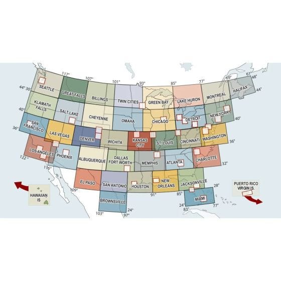
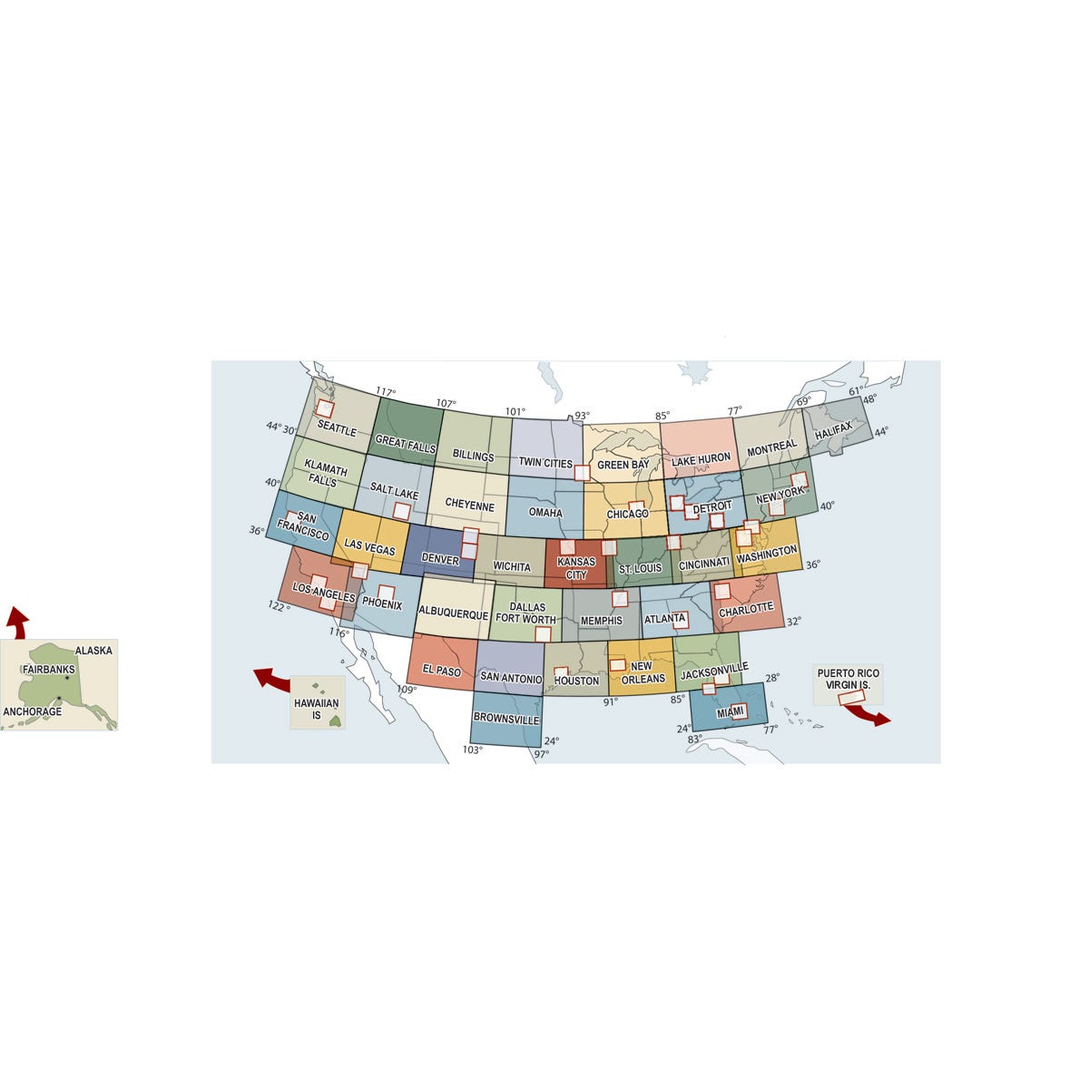
Depicts the airspace designated as Class B. These charts facilitate navigation in or around Class B airspace by showing boundaries, frequencies, prominent landmarks, etc. Other aeronautical information includes radio aids to navigation, aerodromes, restricted areas, obstructions and related data. Revised every 56 days. Scale 1:250,000.
Charts obsolete 11/27/25.
Charts obsolete 11/27/25.


