Includes course access for yourself with your Sporty's account immediately after checkout.
We'll ship you or the recipient of your choice an online activation code for this course. This physical gift packet includes one activation code and directions on redeeming the course.
We can email the recipient of your choice instant online access to the course. This is the easiest way to send someone else the course as a gift.
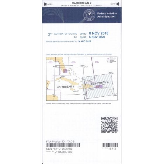
Heading to the islands? These Caribbean Charts were designed to help aviators explore the wonders of the Caribbean. Similar to United States Sectional Charts, these folded charts are perfect for planning and navigating.
Depicted information includes:
• Visual navigation aids
• Radio navigation aids
• Airports
• Controlled airspace
• Special-use airspace
• Obstructions
• Topographical information
• Cities, towns and landmarks
Two charts cover most of the Caribbean. Caribbean Aeronautical Chart (CAC) #1 covers south Florida, Cuba, Jamaica, Hati, and the Bahamas. Caribbean Aeronautical Chart (CAC) #2 covers the Dominican Republic, Puerto Rico, Virgin Islands, St. Croix, St. Martin, Barbuda, St. Kitts, Nevis, Antigua, Guadeloupe, Dominica, and Martinique. 1:1,000,000 scale.
Subscription Service
Take the worry out of keeping your charts current and let Sporty's do the work for you. We can automatically send you new charts as they come available.
1. Enter the desired quantity.
2. Choose which version of the chart you need:
a. Current Chart Only - you will receive the current chart (note obsolete date at top of page)
b. Current Chart With Subscription - you will receive the current chart and start a subscription for this chart
3. Click Add to Cart to start checkout.