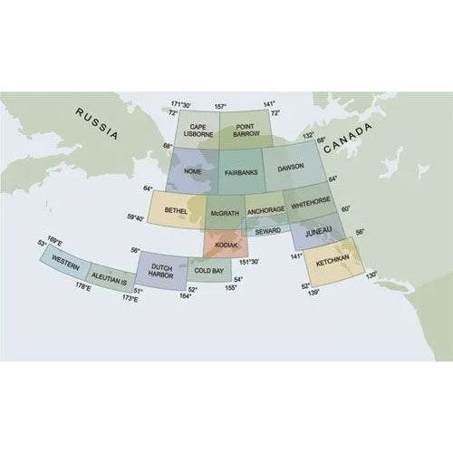
Complete set of 15 Alaskan Sectional Charts

In stock
Backordered
Always current charts
The most popular charts for VFR navigation. Each depicts land data like cities, rivers, and topography, plus airports, navaids, and special-use airspace. Revised every 56 days. You will receive only current, up-to-date charts. Since some charts are occasionally out of print, they will be back-ordered and shipped when in print. (scale 1:500,000)
Charts obsolete 08/07/25.


