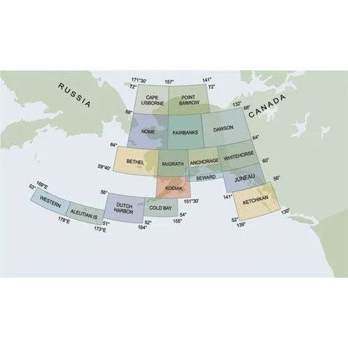
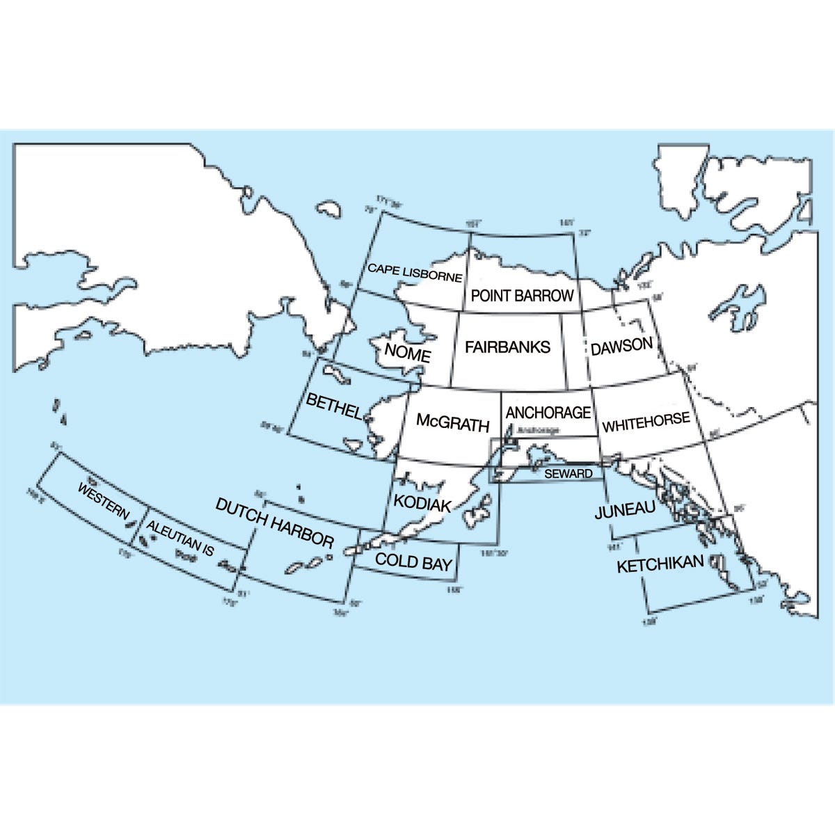
Complete set of 15 Alaskan Sectional Charts
Placeholder
$135.00
In stock
Backordered
You will receive ONLY current, up-to-date charts.
Always current charts
The most popular charts for VFR navigation. Each depicts land data like cities, rivers, and topography, plus airports, navaids, and special-use airspace. Revised every 56 days. You will receive only current, up-to-date charts. Since some charts are occasionally out of print, they will be back-ordered and shipped when in print. (scale 1:500,000)
Charts obsolete 08/07/25.


