Alaska VFR Planning Chart
Placeholder
$14.95
In stock
Backordered
This all-new chart is a great way to plan your next cross country flight across Alaska. Printed in full color, the map displays important land data like terrain, major roads and cities.
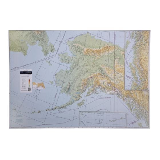
This all-new chart is a great way to plan your next cross-country flight across Alaska. Printed in full color, the map displays important land data like terrain, major roads, and cities. Aeronautical data includes all airports with runways greater than 4000’, navaids, class B airspace, and special use airspace like MOAs and Restricted Areas. Airports include a three-letter identifier for easy GPS planning. Shipped rolled. 1:2,000,000 scale. Measures 58.5" x 40.75". Obsolete 04/17/25


