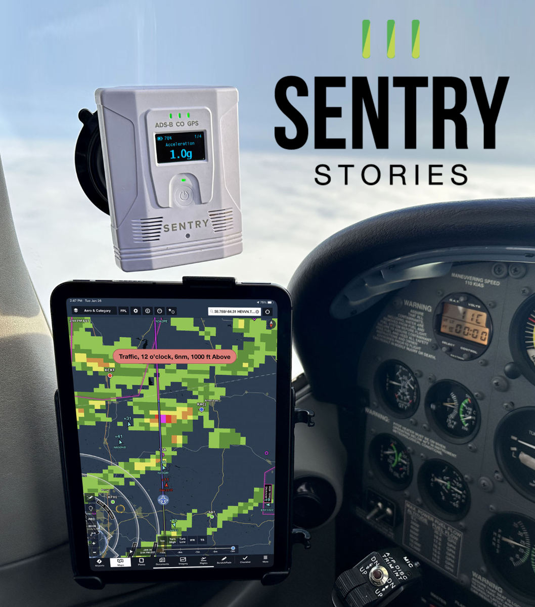
 This is the first in a series of articles about flying with Sentry ADS-B receivers and the ForeFlight Mobile app. In each “Sentry Story,” we’ll describe an actual flight and share the view out the window and ForeFlight screenshots. You’ll see how Sentry can be used to make flying safer and easier, plus you’ll learn some tips for flying with datalink weather. Want to share your story? Email ipad@sportys.com.
Learn more about the Sentry line of ADS-B Receivers:
Sentry Mini>>
Sentry>>
Sentry Plus>>
Sentry Story #1
Date: July 24, 2024
Aircraft: Cirrus SR22
Route: KFLD to I69
Flight rules: VFR
Altitude: 8,500 feet to 11,500 feet
The mission on this day was to fly home from the world’s largest airshow, but a busy schedule at OSH meant I didn’t take off until after 4 pm. That’s fairly late for a hot summer day, and sure enough, there were some thunderstorms on the radar map by mid-afternoon. Fortunately, the convection was widely scattered, with no fronts or other organized systems, and the satellite imagery suggested clear skies outside the storms. I decided to fly VFR on this 375-mile flight because I wanted to avoid all the clouds—even the ones that didn’t have storms would be bumpy.

I pushed up the throttle on the Cirrus SR22 and started climbing. There was a very distinct haze layer, as is typical in the Midwest this time of year, which meant I had to go to 8,500 feet (and later 11,500) to find that smooth, cool air. Once “on top” of this layer (which you can see in the picture below as a darker part of the sky), visibility was excellent so it was easy to see where the buildups were.
But even with great visibility I couldn’t see more than about 40 miles ahead. That’s where ADS-B weather on my iPad became so valuable. It was obvious that direct to my destination was not an option today, and having a top-down view of the storms, complete with radar, PIREPs, and METARs, made it easier to look further down the route. My plan was to fly this trip in roughly 50-mile legs, using my eyes to avoid the clouds and my radar imagery to plan my next deviation (and keep a Plan B in mind). That meant some big detours, but that’s exactly how datalink weather should be used.
It was more than just radar too. As I made my turn south, near Ft. Wayne, Indiana, the radar was clear but I wanted to make sure there were no clouds that might be developing into storms as that gap closed up. A quick check of the METARs showed clear skies, giving me the confidence to start turning for home.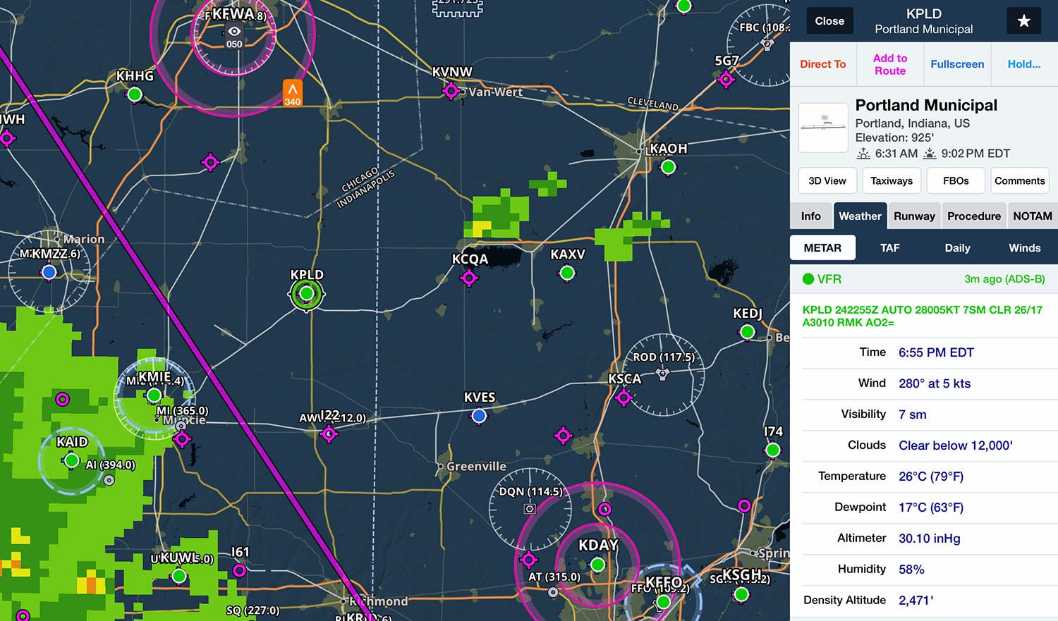
Sure enough, there was a comfortable gap (at least 25 miles) between cells, with just a high overcast. I never had a bump.

That left one more line of weather, the thin one right over Cincinnati. Here I used another tool to add to my confidence: animated radar. By putting the image in motion, I could see that most of the rain was either moving east-to-west (opposite our typical flow, and away from my destination airport) or dissipating. I ended up landing in good VFR conditions with no rain at all.
In the end, this was a smooth and easy flight; just another day at the office when you’ve got ForeFlight and Sentry on board. I had deviated at least 50 miles off my flight plan route, but I didn’t care. This flight reinforced one of the golden rules of weather flying: you have to take what Mother Nature gives you. On this day I simply flew to the blue sky, all the while using ADS-B weather to keep an eye on the big picture, so that I always had an out if things got worse.
Want to share your story? Email ipad@sportys.com for a chance to be featured in one of our Sentry Stories.
Learn more
Read every edition of Sentry Stories here
Sentry line of ADS-B Receivers:


